


Products
Industries
-
TrackoBit
Manage commercial vehicles with the new-age Fleet Management Software
TrackoBit -
TrackoField
Streamline your scattered workforce with Field Force Management Software
TrackoField -
Features Resources
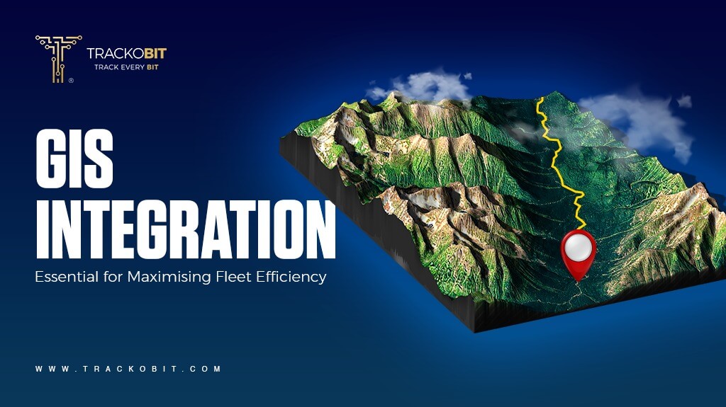
Are you looking for ways to optimize your fleet operations beyond fleet management software? Why not try fleet monitoring software with GIS data integration and be amazed by the benefits?
Not all fleet managers know geographic information system (GIS) software, but they should. This software can be a powerful tool for optimizing your fleet operations. Many fleets across the United States use GIS software to decrease costs and improve efficiencies.
If you are a fleet manager looking to use geographic information system software to optimize your fleet, you’ve come to the right place. This article outlines the benefits of using GIS data with fleet management.
What is Geographic Information Systems (GIS)?
A geographic information system (GIS) is a computerized system that stores, checks, displays, and captures data related to positions on the globe. The system must process spatial and temporal information on Earth to do this.
It is a convention to use GIS on maps to show objects’ positions. This illustrates the relative locations of objects over a period of time. GIS can help fleet managers improve their understanding of spatial patterns and relationships.
Geographic information systems can use any information that includes location data. The location data can be conveyed in many different ways, such as address, ZIP code, or even latitude and longitude.
GIS software solutions are designed to record, analyze, manipulate, and interpret various kinds of geographic or spatial data. The data generated by GIS software can be used alongside telematics solutions to provide additional insight into your fleet.

How is GIS Data Used in Fleet Management and Logistics?
GIS data is essential to fleet management and logistics as it offers cutting-edge technology to improve operational efficiency, optimize transportation systems, and expedite logistics procedures. By integrating GIS technology, logistics organizations can obtain a comprehensive understanding of their fleet operations, including predictive maintenance scheduling, real-time vehicle tracking, and route optimization.
With this data-driven strategy, businesses may decrease delivery times, save fuel usage, and save overall operating expenses by making well-informed decisions. GIS data helps to locate possible supply chain bottlenecks so that quick fixes can be made to guarantee smooth transit and higher customer satisfaction.
What are the GIS Benefits for Fleet Management?
Using Geographic Information System (GIS) data in fleet management and logistics has many benefits, including improved supply chain logistics, cost savings, and capacity planning.
Spatiospatial analysis and sophisticated mapping tools enable well-informed decision-making, allowing for ideal route planning and real-time vehicle tracking, which greatly increases operational efficiency.
Here are more detailed benefits of GIS in fleet operations:
1. Improved Route Planning and Optimization
One major benefit of using GIS data in fleet management is that it improves route planning and optimization, which results in more productivity, less traffic, and better use of traffic patterns.
Organizations can make data-driven decisions using GIS data to obtain insightful information about current traffic conditions. This reduces delays and boosts fleet productivity by enabling dynamic rerouting depending on current traffic trends. Using GIS data, ETA projections become more accurate, giving customers dependable arrival times and increasing customer satisfaction. An operation can become greener and more sustainable by reducing fuel usage and carbon emissions through improved route planning.

2. Real-time Tracking and Monitoring of Vehicles
GIS data makes dynamic network monitoring possible through real-time vehicle tracking and monitoring. This data includes vehicle positions, deviations from the intended path, and network dynamics.
Through this real-time visibility, fleet managers can obtain dynamic insights into their operations, which improves operational efficiency and decision-making. Managers can foresee possible problems, detect patterns, and analyze past data and trends by utilizing GIS statistics. This allows for preventive maintenance and economic measures.
Fleet management relies heavily on effective response mechanisms, including automated warnings and notifications, to quickly handle emergencies. Managers can quickly detect and address issues using real-time tracking, which minimizes downtime and raises customer satisfaction.
3. Improvements in Safety
GIS data enables enhanced risk management and safety measures to improve driver safety. Companies can use GIS-powered fleet management software to help fleet managers view speed limit data and set custom speeding safety alerts for different vehicles.
Fleet managers can also use GIS information to view road construction and help drivers avoid construction zones. Integrating emergency planning, analyzing population density, and facilitating rapid emergency response strategies for improved safety outcomes.
Additionally, fleet managers can use GIS data to create hazard maps showing the geographic areas vulnerable to damage from hurricanes, mudslides, or wildfires. This is useful in deterring the fleet from such locations or sending clean-up operations after a natural disaster.
Read Blog – What is Fleet Management Software?
4. Geofencing Capabilities
Geofencing is another feature that can be included in GIS software, which allows fleet managers to create custom virtual perimeters around routes, zones, parcels, or other landmarks. Fleet managers can use these perimeters to monitor all activity within specified locations and configure custom alerts indicating when a vehicle has entered or exited an area.
Ultimately, geofencing is useful for tracking fleet-led deliveries, assigning halts, or avoiding restricted areas and danger zones.
5. Efficient Resource Allocation and Management
Using GIS data in fleet operations yields significant advantages, including efficient resource allocation and management. This leads to streamlined infrastructure maintenance, optimized asset management, and effective resource utilization.
By utilizing GIS technology, fleet managers may precisely track the whereabouts of their vehicles, monitor fuel usage, and evaluate route effectiveness in real time. Because of this degree of visibility and control, organizations can make data-driven decisions that result in cost savings and increased operational efficiency. Preventing malfunctions and extending the life of fleet assets through proactive maintenance scheduling based on GIS data eventually reduces downtime and increases productivity.

6. Cost Savings and Increased Productivity
By employing cutting-edge GIS technology and respected data in fleet management results in notable cost savings, increased productivity, and enhanced operational efficiency.
By integrating GIS data into their operations, fleet managers may optimize routes, cut fuel costs, and improve fleet efficiency. This gives them access to real-time insights. Businesses can reduce maintenance costs and downtime by tracking vehicles and equipment more effectively, yielding significant financial benefits. GIS technology facilitates more accurate driver behavior monitoring, more efficient resource allocation, and enhanced decision-making processes, all leading to more profitable and efficient operations.
7. Data Visualization and Analysis for Better Decision Making
Fleet managers can leverage sophisticated spatial analysis and data visualization tools with GIS data, enabling data-driven decision-making processes based on thorough insights into traffic patterns, geographic data, and spatial analysis.
Fleet managers always look for ways to streamline their processes and boost productivity. These managers can decide on routes, timing, and resource allocation by using GIS data to obtain insightful information about traffic patterns. Developing more effective strategies and action plans is made possible by a deeper understanding of the spatial dynamics influencing fleet operations obtained via geographic data analysis. Fleet managers may track vehicles in real time, monitor driver behavior, and find chances for cost reductions and performance enhancements using GIS technology.

Conclusion
GIS is an essential transportation planning and management tool, offering many benefits and applications. As the commercial transportation sector evolves, GIS will play a crucial role in enabling the efficient and sustainable movement of people and goods. One such example is that with the development of autonomous vehicles, the requirement for a GIS system will also increase as it will help navigate and operate safely.
So, if you, too, want to be part of the future, selecting fleet management software will just not cut it. Rather, the goal should be to select fleet management software with GIS integration capabilities. TrackoBit truly is ideal for changing the future of the logistics and transportation sector as it has already integrated GIS data and is readily helping fleet managers optimize their fleet operations.

Tithi Agarwal
Tithi Agarwal is a content writer at TrackoBit. She enjoys writing blogs which are knowledgeable yet fun to read. And when she is not typing away to glory she has her nose buried in books.
Never Miss a Beat

Related Blog Test
-

Tips to Build a Solid Fleet Management Strategy (Beware! It Works)
Running a fleet without strategizing? You are doing it all wrong. Here, note down just 9 ways to form a spectacular fleet management strategy.
-

What is a Digital Tachograph? History, How to Use It & Alternatives
Read a lot of pieces around digital tachographs? Still not clear with what exactly is this? This piece is for you as it unfolds everything about tachographs.
-

What are DTC Codes? Types & How to Decode Them
Do you see a blinking check engine light but don’t know what it means or the reason? In this blog, we will learn why deciphering DTC codes is crucial for identifying the issue.
-
Types of Vehicles Used in the Logistics Industry
There are almost 5 types of vehicles used in the logistics industry and you are using just one kind? Explore all the types of trucks and multimodal transportation used to ensure on-time dispatch and delivery of goods.
Thank you for reaching out! We'll speak to you soon.
In the meantime, why not find out more about us, explore our products, or visit our blog?
Stay Updated on tech, telematics and mobility. Don't miss out on the latest in the industry.